By drawing more than one shape on the PSAI Weather map, you'll be able to precisely target multiple geographic areas while still keeping them within the same Facebook ad campaign.
Follow the instructions below to draw multiple shapes on the map, as shown in this GIF.
The steps to drawing multiple shapes on the Weather map are:
- Draw the first shape by clicking your points on the map. (Follow along with this article if you'd like to see this step.)
- Click button for "Next Shape" in the upper-right panel. (Don't worry if the shape appears to be coming with your cursor; when you click "Next Shape," your first shape will auto-complete if it is not completed already.)
- Draw your next shapes, as many as you want, by following the first two steps.
- When you've drawn all of your shapes, click the button for "Done Drawing."
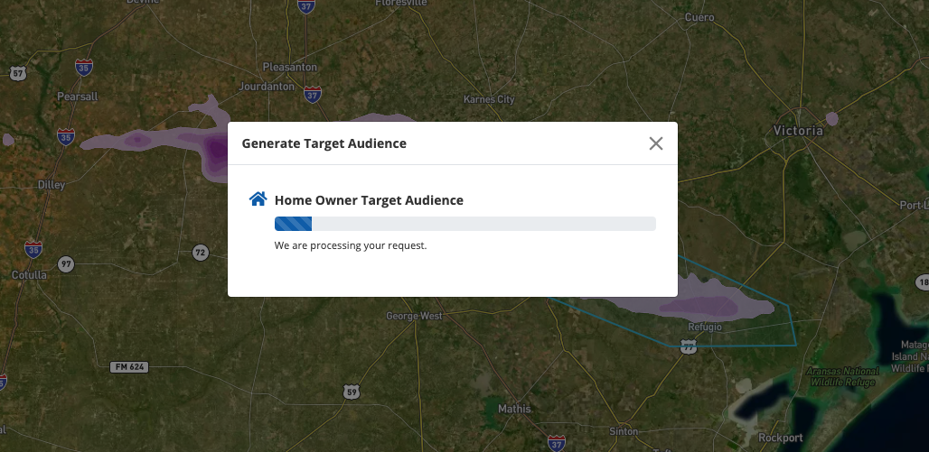
Once you've finished drawing, you'll go straight to the next step of your storm campaign: generating your homeowner list, as shown below.
Whether you draw a single shape or multiple shapes, your total square footage must be below 10,000 square miles to calculate your homeowner audience. If you receive an error, try redrawing a smaller shape.
View the whole process of a storm campaign—done in just a few minutes!—in our article on launching a storm campaign. You can also get more tips in our best practices guide for drawing on the map.